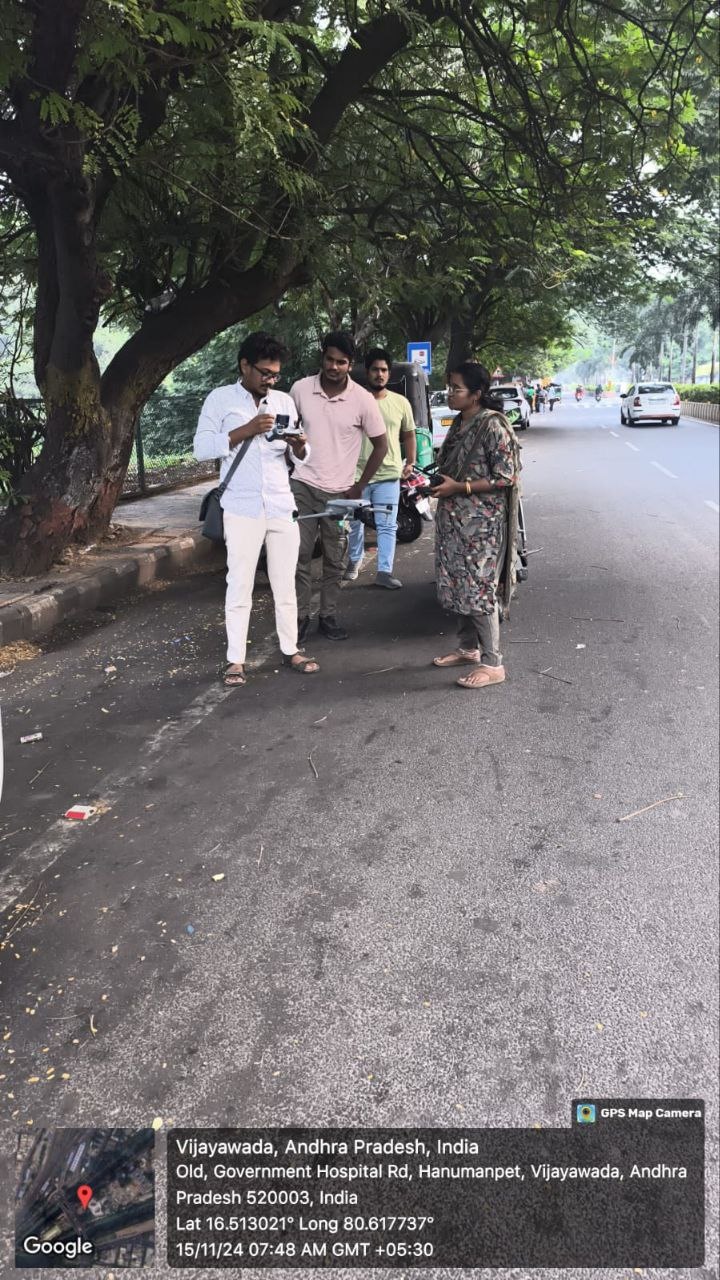
Following the instructions of Andhra Pradesh Chief Minister N. Chandrababu Naidu, the Vijayawada Municipal Corporation (VMC), under the leadership of Commissioner HM Dhyanachandra, carried out a drone survey on Saturday morning to plan the development of smart roads in the city.
Commissioner Dhyanachandra explained that the survey covered a total distance of 17 kilometres, spanning three circles within the city’s jurisdiction. This survey is part of a larger initiative to build smart roads under the Public-Private Partnership (PPP) model. The survey focused on key factors such as potholes, road dividers, paver blocks, footpaths, and underground drainage systems, which are essential for the development of the roads.
The Commissioner also highlighted that the smart roads project would not only improve infrastructure quality but also explore potential revenue generation through the PPP model. Moreover, the construction agency selected for the project will be responsible for maintaining these roads for one year after completion, he added.
The smart roads project will cover a total of 17 kilometres across three circles of the city. In Circle 1, 7.3 kilometres of roads will be developed, including key routes like BRP Road, KT Road, Nehru Road, Kummaripalem Center, and Sitara Center. Circle 2 will see 6.2 kilometres of development along BRTS Road, Sambamurthy Road, GS Raju Road, and Kandrika Junction. In Circle 3, 4.14 kilometres will be developed, covering roads such as HT Line, Gurunanak Colony Main Road, and Pinnamaneni Polyclinic Road.
With these developments, Vijayawada is set to enhance its road infrastructure and move towards becoming a smarter, more modern city.
City roads to go smart


